Reference Plans under the Land Titles Act
Prepared to support title registration with disciplined geometry, labels, and callouts that make review easier.
When a parcel line turns into a courtroom issue, clarity matters. Meridian Lex drafts legal maps and survey-ready exhibits that help counsel, planners, and title professionals read the same land story.
Need a reference plan for registration, or a boundary exhibit that stands up under cross-examination? We bridge the gap between field data and legal documentation, so your paperwork feels sharp, consistent, and usable.

A map can settle confusion fast, if it’s built properly. Our in-house drafting process turns survey notes, deeds, GIS overlays, and municipal records into clear visual evidence. Why rely on a generic drawing when the dispute lives in the details?
Prepared to support title registration with disciplined geometry, labels, and callouts that make review easier.
We highlight overlap, encroachments, and occupation patterns so the issue is visible before the hearing starts.
Legal descriptions and spatial diagrams are matched carefully, which saves time when documents need to align.
Overlay exhibits combine municipal data, aerial context, and survey control to support argument development.
We assist with plan review and drafting where the development timeline can’t afford avoidable redlines.
Regulators want precision, and developers want momentum. Our exhibits try to give both.
A good sample should show the structure without exposing the file. Here, we use redacted plan imagery, issue markers, and callout notes to demonstrate how a court-friendly exhibit is built.
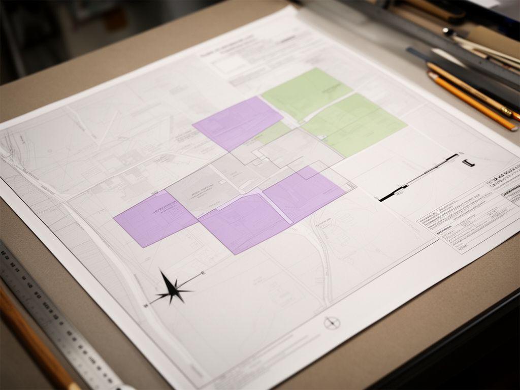
Want the full-size version? The sample can be opened for closer review during an initial consultation. Why squint at a thumbnail when the drafting decisions are the real story?
We start with the records, then shape the visual argument. The sequence matters because clean evidence saves revisits.
Scale, legend, line weight, and notation all serve a purpose. If a judge asks, the answer should already be on the page.
We prepare files that are easier to circulate between counsel, surveyors, and planning teams.
Surveyors gather the facts on the ground. We translate those facts into litigation exhibits, title documents, and planning visuals that can travel through the legal system without losing precision. Isn’t that where most disputes get messy?
Our collaboration model is simple: respect the survey, preserve the record, and draft with the audience in mind. That keeps communication tight when timelines are compressed and stakes are high.
“Why did we choose Meridian Lex? Because they didn’t just redraw our materials. They turned a confused property file into a clear strategy document, and that changed the pace of the matter.”
Courtny LovelySend us the survey, deed, sketch, or planning packet. We’ll review the geometry, identify the weak points, and suggest the cleanest visual path forward. That first draft often answers the hardest question: what’s really at issue?